Vía Xurra Cycle–Pedestrian Footbridge
over the Carraixet Ravine (Valencia)
CONSTRUCTION
PROJECT
BAckground
The Vía Xurra follows the historic rail alignment from Aragón to València — threading through Almàssera, Alboraia, Meliana and Rafelbunyol. A leisure and commuter route in one, with a direct connection into the city for short‑distance walking and cycling trips.
Starting at Zaragoza Square, the route runs north between the UPV campus and Benimaclet — until the Carraixet ravine, where the former railway bridge no longer exists. The route breaks. Cyclists and walkers are forced onto a busy road.
The detour routes them onto the CV‑311 — one of the province's highest-traffic roads — sharing space with motor vehicles across the existing CV‑311 bridge.
On the left bank service road between the CV‑311 and the Via Xurra reconnection point, the cycle-pedestrian path shares Camino del Barranco — a busy access road to Almàssera from València via the CV‑311.
On the right bank, the path is classified as a pedestrian embankment route — vehicle access restricted to the Júcar River Basin Authority and adjacent plot owners.
The Carraixet is a Mediterranean torrential watercourse — typically low-flow and vegetated, but capable of extreme discharge during rainfall events given its extensive catchment.
The Design
A dedicated cycle–pedestrian footbridge — restoring the broken route, removing users from motorised traffic, and anchoring a sustainable mobility model for the area. Designed to integrate with the agricultural landscape of the Huerta de València and encourage non‑motorised travel. Structure and access routes designed to blend with existing paths and the Huerta's landscape character, adapting to cross‑sections and materials to the context.
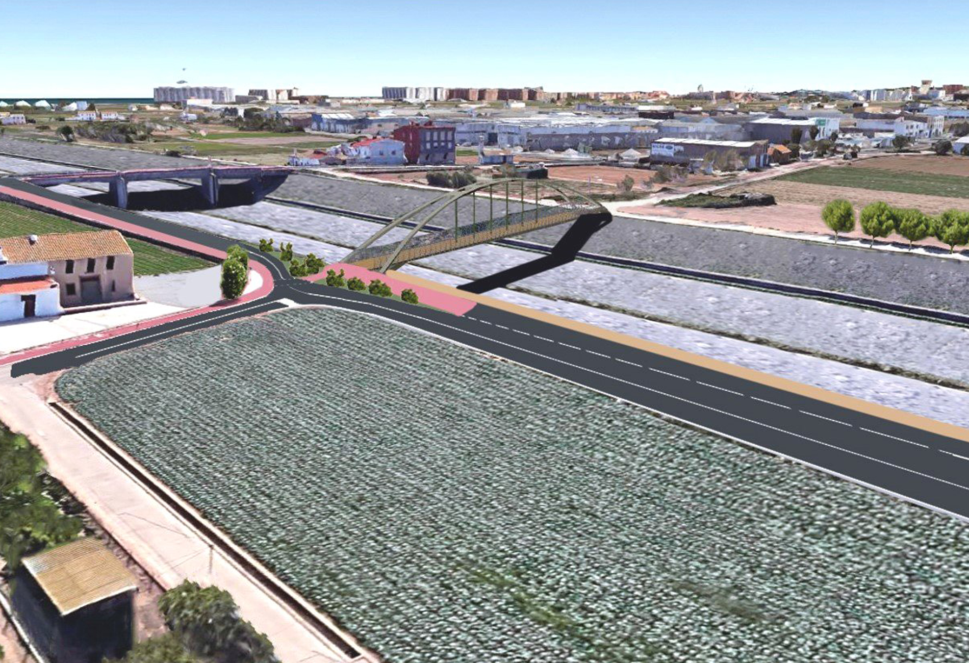
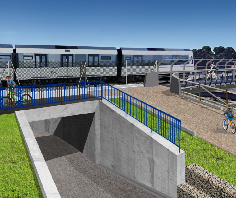
A steel tied arch “bow-string” footbridge: 70 m single span, 5 m clear width. Access routes on both banks for cyclists and non‑motorised users.
The structure features a parabolic-cylinder plan geometry, 1.40 m anti-climb railings, and a composite deck: galvanised steel profiled sheet (70 mm, e=1 mm) with a 90 mm concrete compression layer. Access ramps at 3.5% gradient. On the left bank, the existing cycle lane was regularised; on the right bank, stabilised granular surfaces achieve landscape integration while providing 4.0–5.0 m usable width. The footbridge is a tied arch “bow‑string” — geometry derived from intersecting a parabolic cylinder and two vertical‑axis cylinders. Simple in appearance. Technically precise.
